We began our last day in a leisurely manner and for good reason, our final destination on this adventure was a mere 17km away and we weren’t carrying camping equipment any more as we didn’t need it!
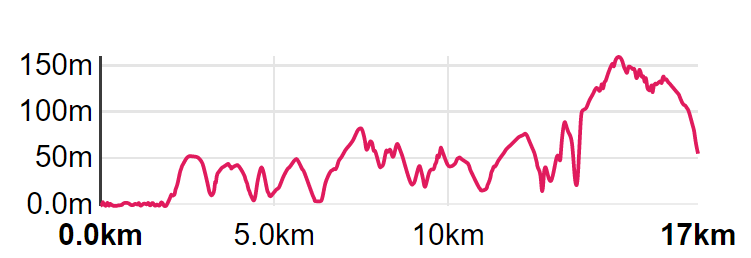
This day was also going to the be the day with the most climbing, with a total ascent of just under 900m, but after a week of hiking we had built our muscles to expedition strength so the extra climbing would be of little concern to us.
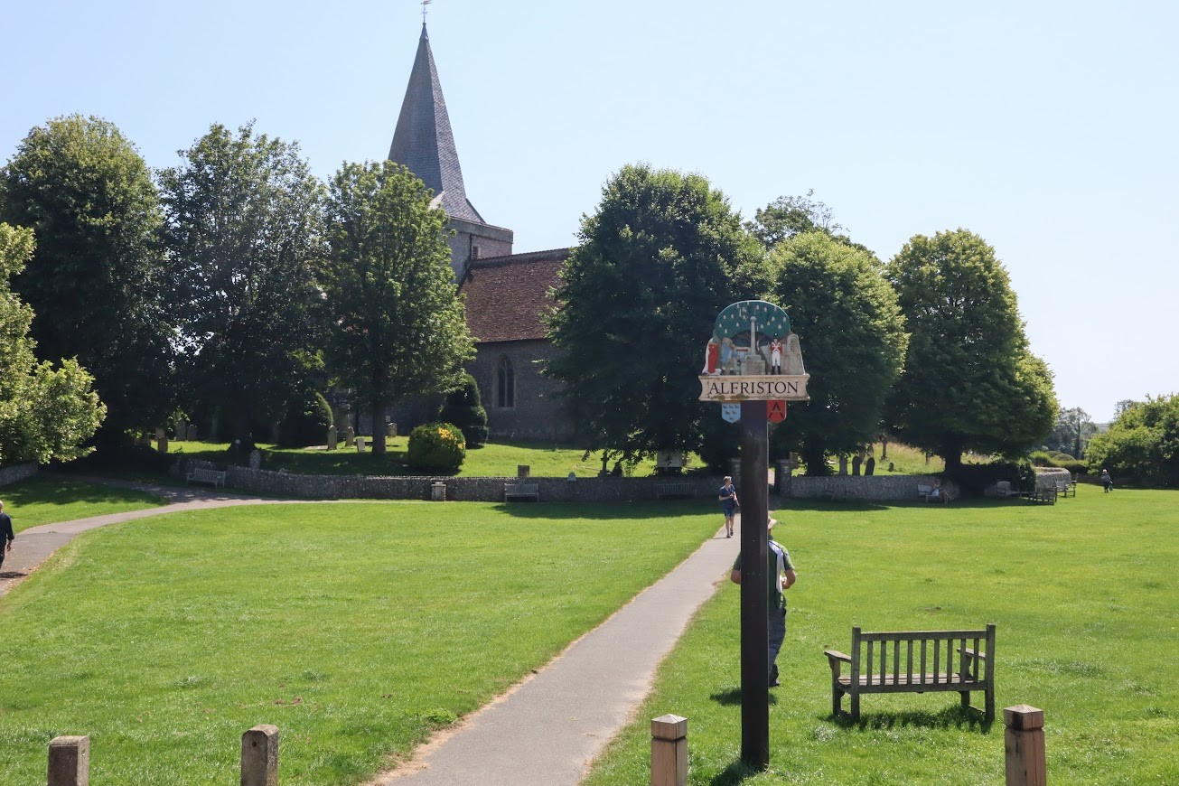
We were dropped off back in the village green just after 8am and as we crossed a little footbridge at the village boundary we reached the point at which the trail now split and headed off in two separate directions, not rejoining until the very end of the path at Eastbourne promenade.
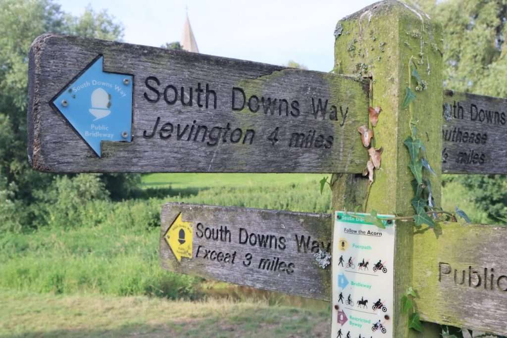
All South Downs Way hikers need to choose between either carrying on along the North edge of the Downs and round past the Old Man of Wilmington(the only option available to cyclists) or heading south down the Cuckmere valley and over the Seven Sisters, a series of chalk sea cliffs.
We had already chosen the coastal route and it was for this reason that we would be ascending such a great amount compared to the previous days hikes – each of the seven sisters represented one hill along the cliff.
As we tramped off southwards I though back to our choice of route and was a little bit sad that I wouldn’t get to see the Old Man of Wilmington, a 100m high figure carved out in the chalk hillside, from above. My disappointment was short lived however!
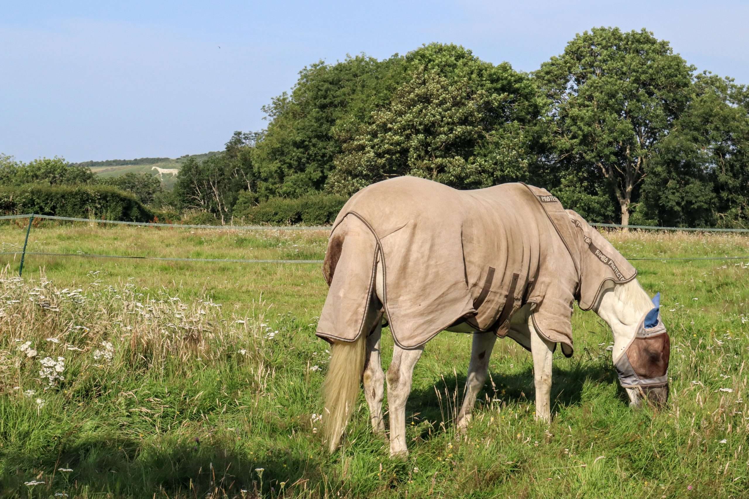
As we followed the Cuckmere River down the valley it meandered widely to the left and our view of the valley wall extended out to the right. Out of nowhere a huge chalk carving of horse appeared, high on the hillside.
I was surprised and excited – I would get to see a chalk figure after all and this one was completely new to me. I carried on down the path as it followed the river, gazing up occasionally to admire the view. At one point I passed a real horse and did my best to get both in the same picture!
At Litlington village the path left the river, headed over a small rise and then into a pleasant wooded section of the trail, before dropping down into the curious hamlet of Westdean, home to the oldest continually inhabited home in Britain, built by Benedictine monks in 1280 AD.
We passed through the village after a small but steep climb over a small ridge we descended into Exceat, hoping to grab a coffee and sandwich at the café there. We were once again thwarted by our earliness as the cafe didn’t open until 10:30.
We weren’t as disappointed as the couple of hikers that arrived at the just after us though – they were also hiking the SDW and had skipped breakfast in order to get an early start and were now regretting their decision!
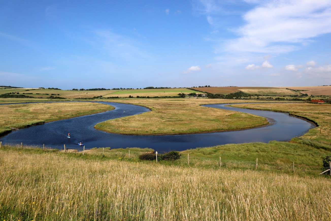
From here we crossed over the A259 and down towards towards the mouth of the estuary where the Cuckmere river meets the English Channel. The path traversed along a hill that rose up the eastern flank of the river and from my vantage point I had perfect view of the wide, sweeping meander of the river below.
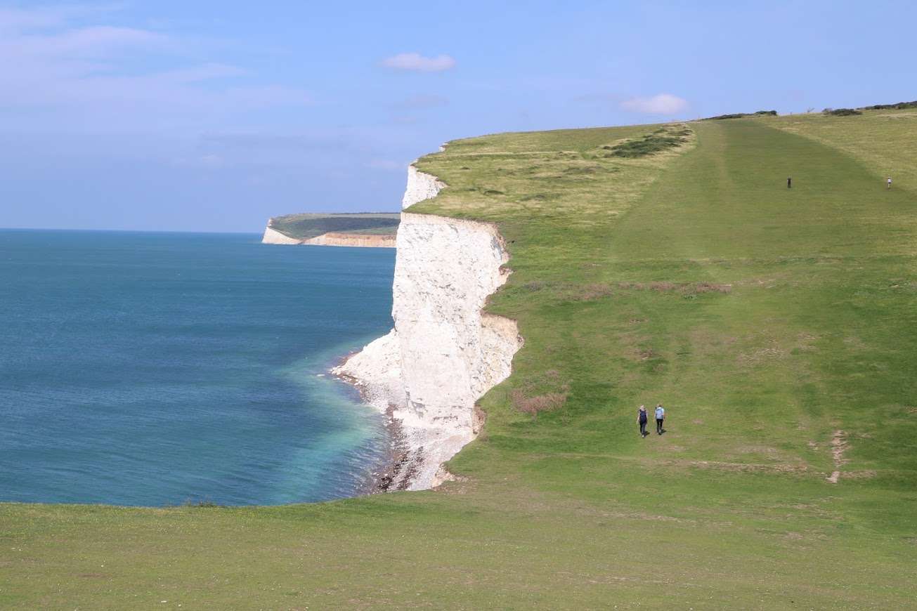
The path now followed the hillside round and over as the hill met the sea and famous Seven Sisters cliffs began. As we crested the hill a stiff easterly breeze hit us in the face and it dawned on me that the undulating ground wasn’t the only challenge we were going to have to contend with!
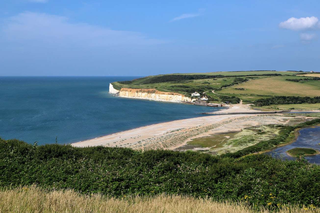
We finally reached the cliff edge looking out over the English Channel and stopped for a moment to gaze at the rolling landscape ahead of us, dropping off the sheer cliff face to our right.
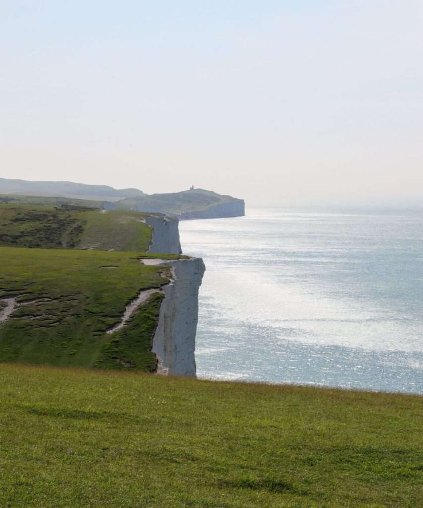
We set off into the bracing headwind, slowly tackling each of the Seven Sisters in turn. It took quite a bit more effort than normal just talk way on the flat, with the full force of the wind rolling in off the sea.
As we dipped down into the gap in between each one the wind would die down and I could risk opening my bag for more snacks, something I daren’t do above.
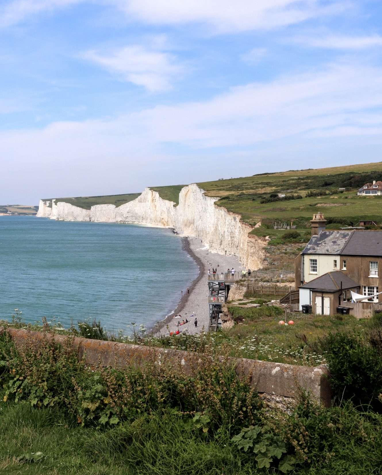
Eventually we reached Birling Gap, another National Trust Property. It is famous for its small row of terraced houses that are steady falling into the sea, one-by-one. The weak and porous chalk cliff-face is slowly but surely crumbling into the sea at 60cm a year.
This attraction was significant to us for a more important reason though – we knew it had a café that was open! We headed in, ordered a coffee and a pie, and then trundled down the stairs to sit on the pebble beach at the foot of the cliff.
After a short lunch stop we were eager to get going again and headed eastwards once more along the top of the cliff face. We were careful to stick well away from the edge as it was common for the cliff to crumble without warning as people have found out in the past.

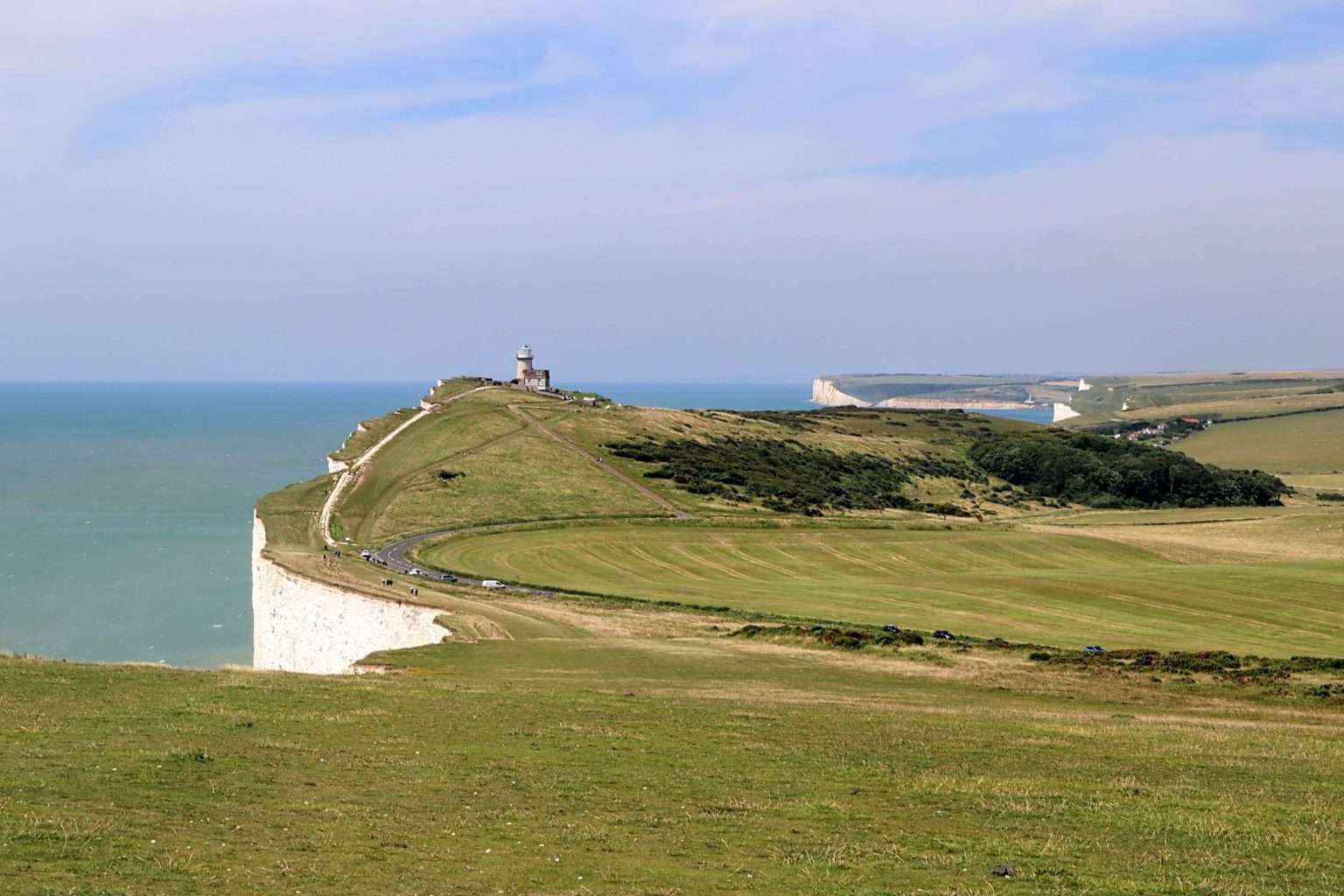
We passed by Belle Tout lighthouse, once an important safety beacon for ships passing through the channel, now a quirky bed & breakfast. The lighthouse was originally closer to the cliff edge and risked falling into the sea. However in 1999 engineers used hydraulic jacks to move the building 17m inland. It looks like they will soon have to repeat the endeavor!
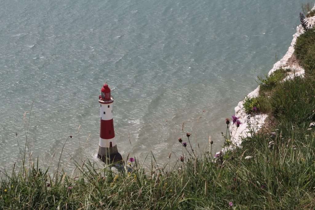
We left the lighthouse and headed up to the final stop on route, Beachy Head. At 162m this was the highest point on the day’s walk and the cliff towered above the sea below. Sadly Beachy Head is a well known suicide hotspot, so popular in fact that there is a chaplaincy centre nearby to help those in distress.
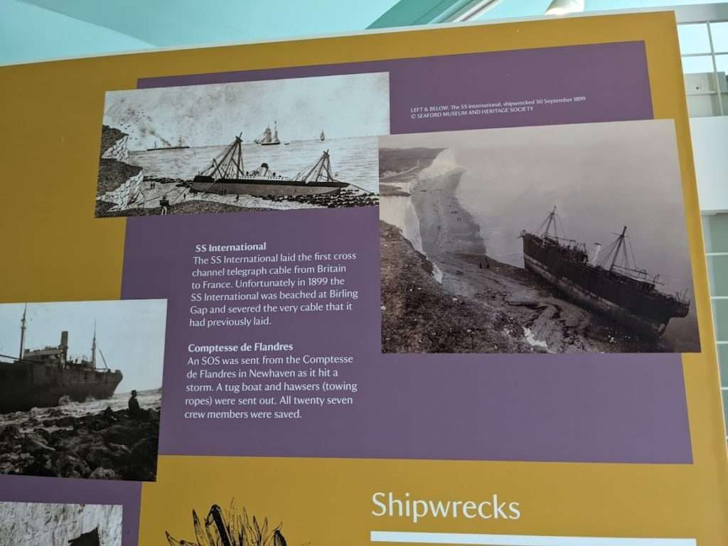
Beachy Head is home to the Beachy Head visitors centre, next door to the pub and we popped in to visit both! The visitor’s centre is an example of responsible tourism. It features information about the history and geology of the area, as well as offering well thought out gifts in the small gift shop attached. This was far better than many others – especially the tacky, awful tourist shop at Lands End that I would soon visit on my LEJOG cycle ride!
After a brief look after and some souvenir shopping we headed back out in the unrelenting winds and down along the last mile or so of our walk.
As we crested the hill the outline of the town of Eastbourne began to creepy into view. Spurred on we bounded down the hillside, dropping down towards to the western end of the promenade.
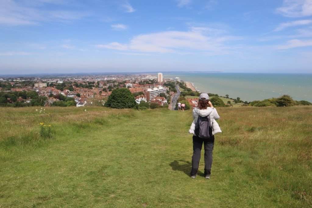
The path drops down quickly towards the end of the path and as we approached the start of the promenade to we picked out the large wooden board marking the end of our route, far more conspicuous than the one at the other end of the trail!
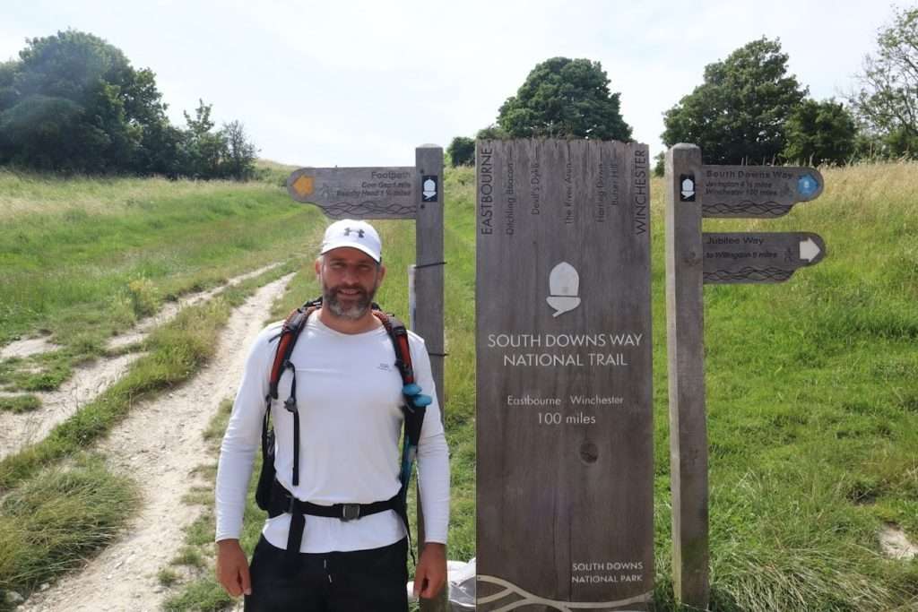
We stopped briefly to take photos, euphoric in our victory, but also a little sad to have finally reached the end of such a wonderful journey!
As we were about to set off to head down into town for a celebratory fish, chip & beer I glanced back at the sign and a young woman walked past us in the opposite direction, fully laden with camping gear, taking her first steps on this wonderful, spectacular trail!
Leg Information
- Distance Travelled: 17km
- Height Climbed: 890m
- Accommodation: There’s plenty of accommodation in Eastbourne catering for all budgets!