We were dropped off back at Amberley feeling refreshed after our night in a proper bed and were in an enthusiastic mood, ready to cover some miles.
Once again we had blue skies and a forecast in the high twenties, perfect walking weather, though we were going to have to make efforts to ensure that we refilled our water bottles whenever the opportunity arose.
There were a number of taps enroute that were freely available to use, however these were all located in the valleys between the Downs and this meant that there were gaps of up to 7 miles between each water source.
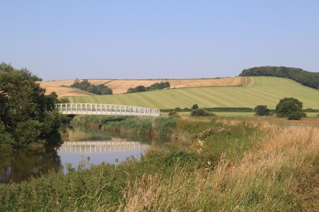
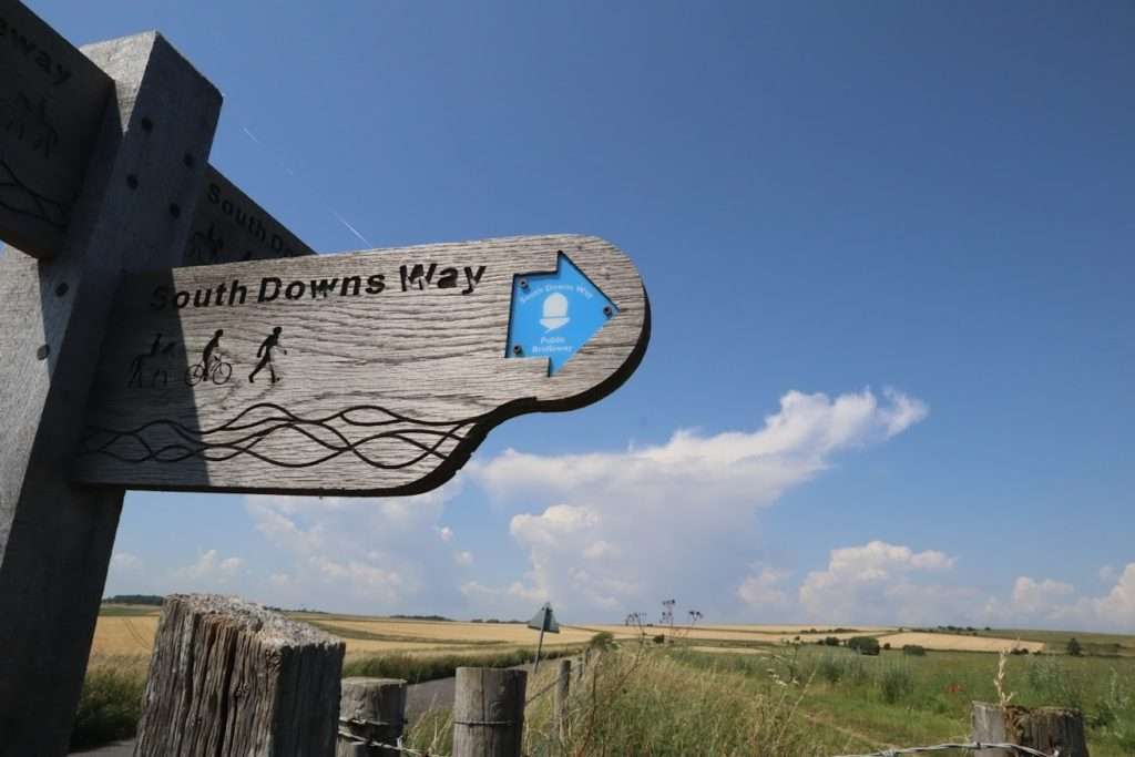
We headed out across the valley floor and crossed the small footbridge over the River Arun. Soon we were passing Amberley train station, one of two train stations that link up with the SDW, and one of the main reasons why this national trail is one of the most popular in the UK.
Soon we arrived at the foot of the next Down and begun the steep 200m climb up onto the tops. Our goal for the day was the campsite at the Trueleigh Hill YHA, some 25kms away, so we had good distance to cover.
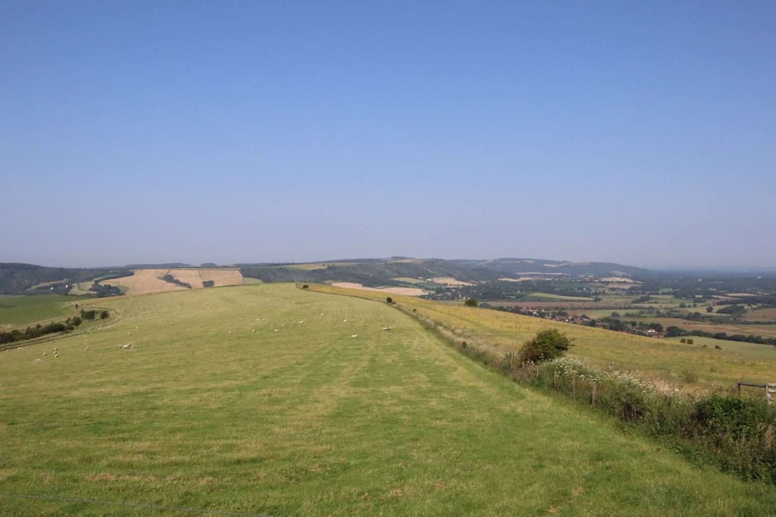
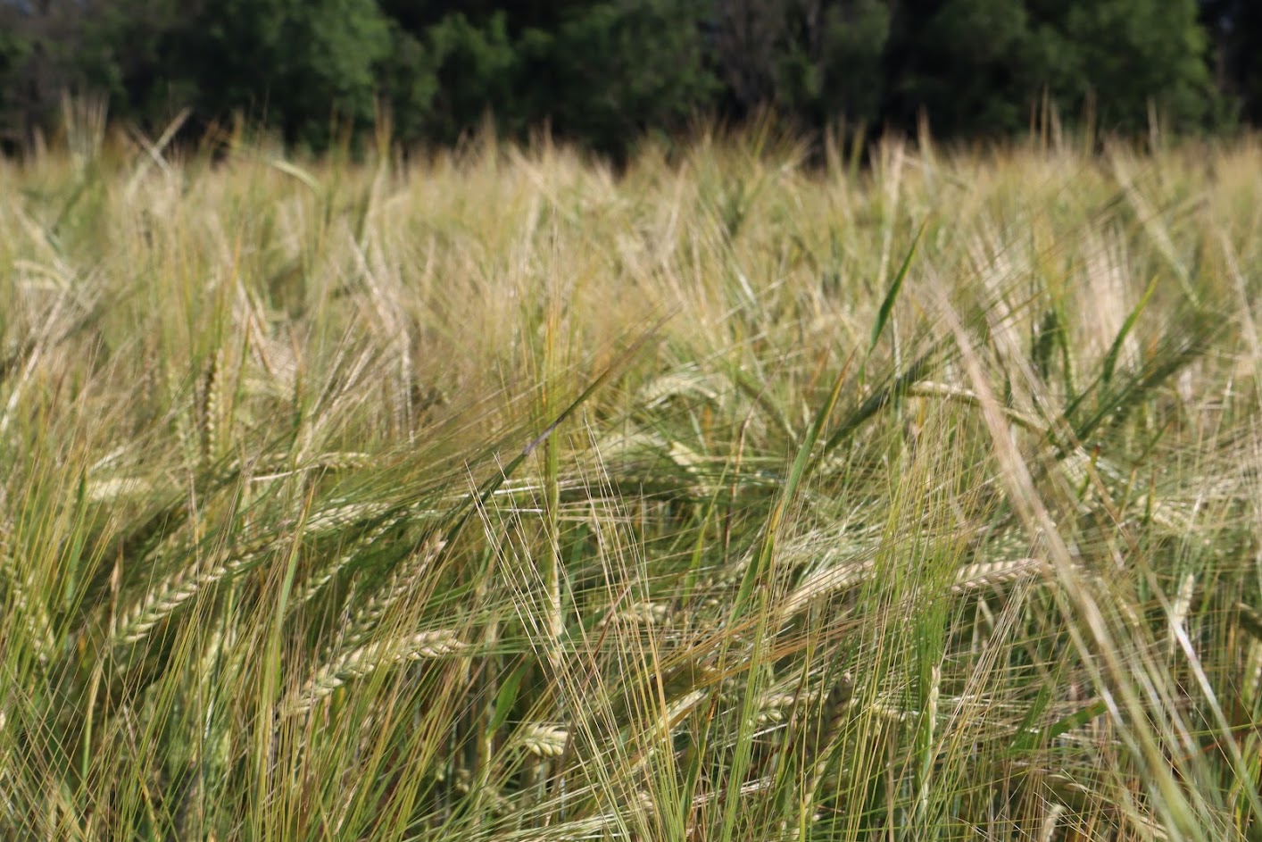
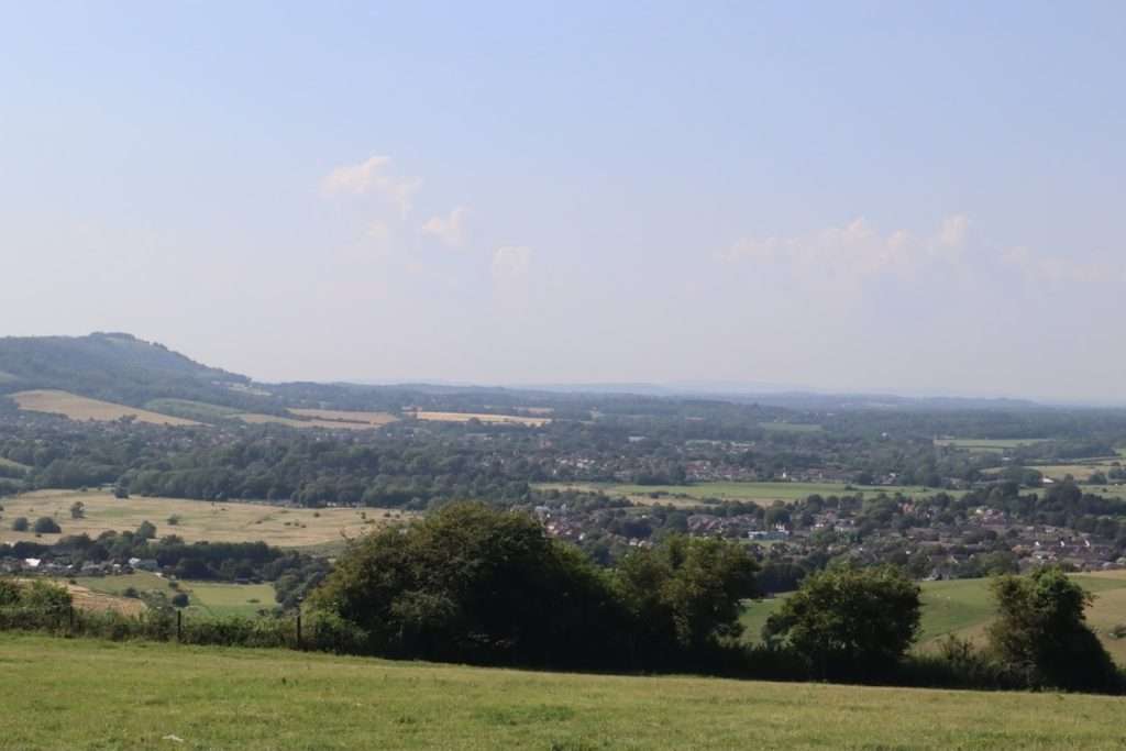
We plodded along the top of the ridgeline, the path as always sticking faithfully to the northern edge. The land around was a patchwork quilt mix of wheat crops and grazing land, with woodland being relegated to the steep northern slope off to our left.
The lack of trees afforded us an uninterrupted panoramic view of the entire valley below and even after 4 days the view was still just as enchanting as the first day. We marched on, making good time as we passed the villages the numerous villages dotted around in the valley below.
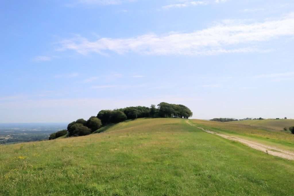
By late morning we had reached Chanctonbury Ring, one of the most significant archeological sites on the whole Trail and a perfect spot to stop for lunch and a brew.
This circular site, about 100 metres from end to end, was originally an Iron Age hill fort and then later the site of a Roman Temple and settlement. Apparently the existence of the temple only came to light when they planted trees on the circle and the ones in the middle failed to grow due to the stonework just below the surface of the soil.
We hadn’t had time to pick up food the evening before so I boiled up some water and prepared as couple of the dehydrated meals to share between us. While I was cooking lunch Lizzy was further back on the trail as she had dropped her sunglasses a little way back and so had gone back to find them. Unfortunately she came back empty handed and somewhat unhappy.
We scoffed the salty carb laden rations greedily and then laid down for half an hour, absorbing the wonderful view and waiting for our respective food comas to wear off a little.
Eventually we managed to drag ourselves back to our feet and set off along the trail once more. By now the wind had picked up a little and the steady breeze helped take the edge off the glaring sun.
We carried on for another hour along the top until the path began to descend into the next valley once again. Here we were given the choice of either carrying on directly to our destination, or taking a detour into Steyning – the first real settlement that we had passed since leaving Winchester days ago.
Lizzy was keen to carry on so we decided to skip the village and instead to head straight up to the YHA. We had plenty of dried rations and the YHA served dinner and breakfast so we weren’t desperate to resupply.
So off we went, across the valley floor, over the A283 and then began the last 3km climb up to Trueleigh hill.
We were both pretty knackered by this point and so the climb seemed to drag on forever. Eventually we arrived at the hostel and were relieved to discover that the café was open and serving food & beer!
After a celebratory beer on the picnic benches we walked over the trail to the field opposite and I went scouting around for a suitable place to pitch the tent.
The increased wind meant that I was going to have to ensure that the tent was well pitched. Unfortunately the only suitable spots were on a slope, but beggars can’t be choosers so I set up the tent, using a fence post as an anchor for more stability.
After successfully setting up the tent and having a much needed shower, we plonked ourselves down one of the picnic tables outside the front of the building and began to order copious amounts or food and beer for dinner – refueling our bodies for the next day’s hike!
Leg Information
- Distance Travelled: 25km
- Height Climbed: 651m
- Accommodation: Camping at the YHA Trueleigh Hill