We woke up at 6am without the need for any alarms – we were already settling in to the early-to-rise early-to-bed routine that you tend to follow on this kind of trip.
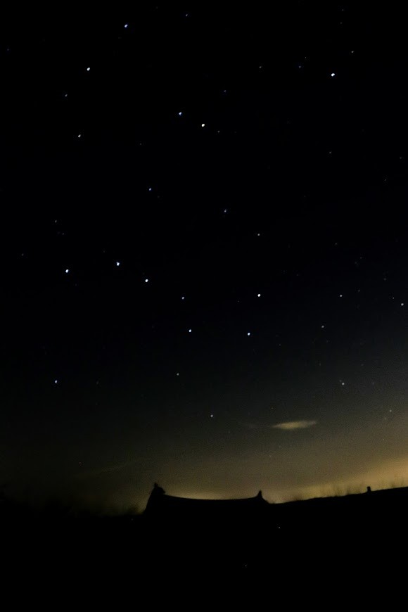
I had woken up at some point in the night due to the urge to pee and had taken the opportunity to do a bit of star gazing and take some photos on my new camera.
I had never done an astrophotography with this camera before and I was eager to see how the shots had turned out.
After a bit of wriggling about I managed to located my phone and take a look at the photos. The photos were out of focus as I had yet to learn how to focus an electronically focus lens at night, but the photo showed some promise.
Soon it was time to get up and start packing. I boiled water for a brew while I packed up the camping gear, attempting to shake off as much of the dew as possible from the fly-sheet that had formed after the cool, cloudless night.
One of the two major drawbacks of ultralight Sil-nylon tents is that they soak up a lot of water in the rain/dew – the other being being that the material sags significantly in heavy rain.
By the time we set off it was just past 7am. The field had filled up with hikers and bike-packers the evening before, some arriving only just before sunset and we were pleased to see that we were the first out of the camp.
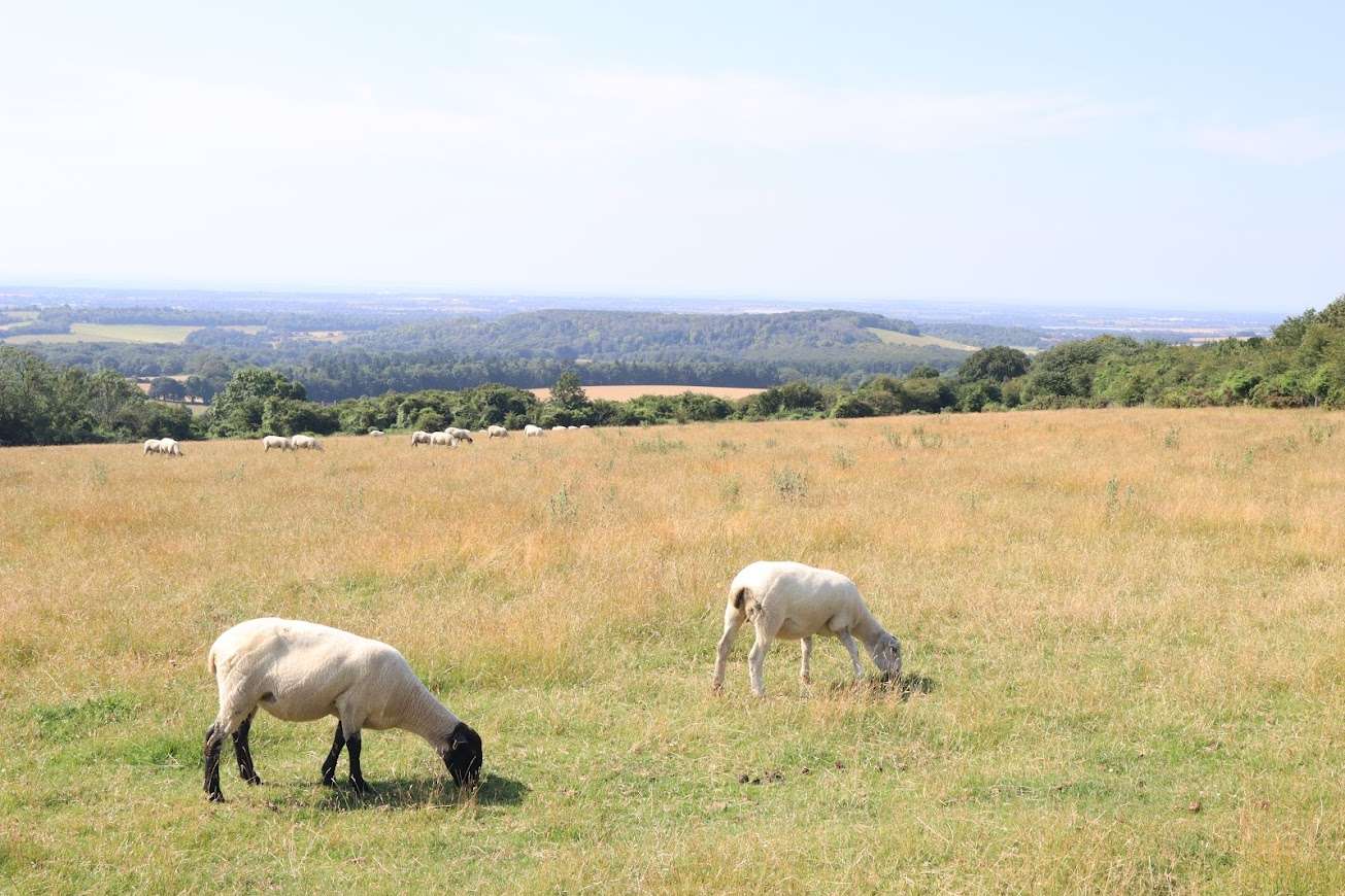
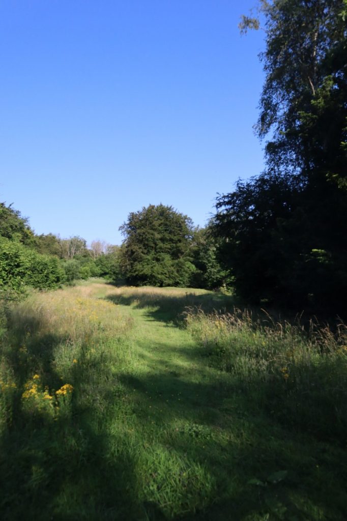
We trudged up the hill past some livestock and soon we were back on the northern lip of the escarpment and walking through one of the few wooded sections of the trail.
Every so often the view to the north would open up and reveal the Weald below, but I was quite happy to be out of the sun for a little while. Lizzy had forgotten her hat and I had let her borrow mine so my face was feeling the effects of the unrelenting sunshine.
The path passed more archeological sites, including several cross dykes – prehistoric land boundaries, as it traversed mile after mile along the long flat top of the hill.
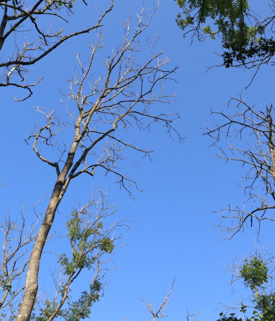
Sadly we also passed through a section of woodland that had been completely devastated by Ash Dieback. This fungus has wreaked havoc throughout the UK, decimating any Ash trees that it encounters.
Eventually we reached the end of the hill and began our descent into the valley where Littleton Farm sits. Here we crossed the first road of the day and the first busy A-road of the trail. Cars zoomed busily past as we waited to cross and carry on. Once over the path then proceeds to head back up the hill to the top of the downs again and south east towards Amberly, our destination for the day.
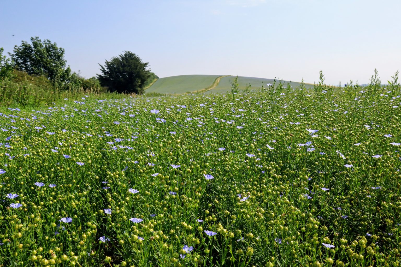
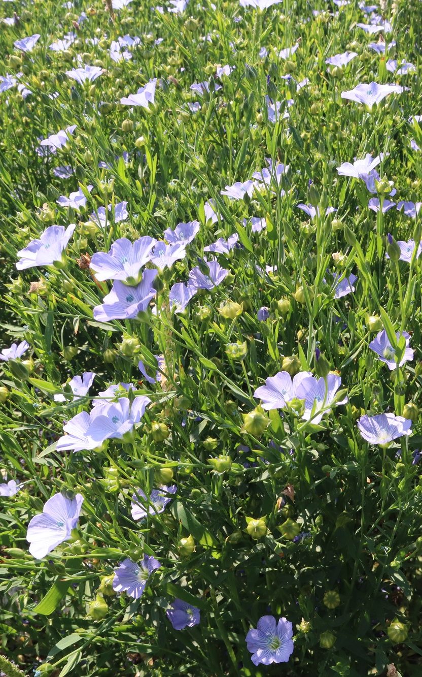
The trail along this section was gorgeous. The crops in the fields were in full bloom and made a great contrast to the endless wheat fields that had dominated our previous days walking.
The trail wound its way past more ancient relics, including the remains of a roman road and a Neolithic encampment near Bignor Hill.
Soon we began our descent towards the village of Amberley in the Arundel Valley, but not before we crossed the incredibly busy A29 – we were waiting over a minute before it was safe to cross!
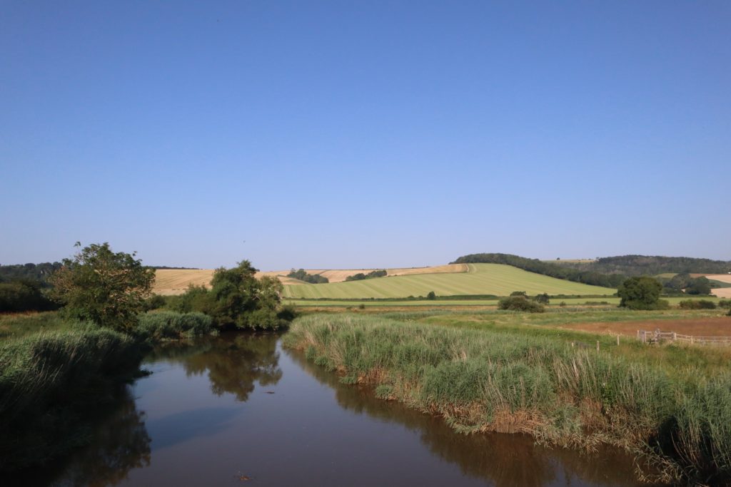
As the trail meandered its way down the hillside into the valley the view opened up and we could see right out across the wide valley floor. The River Arun snaked its way lazily across the valley – flowing north-to-south or south-to-north, depending on the tides.
We eventually reached the valley bottom and went in search of a pub for a pint. Unfortunately it turned out that all the pubs in the village shut on Mondays and Tuesdays.
After a bit of trundling around we managed to find a café by the river that was happy to sell us a crisp, cold beer!

There was a bunk house in Amberley that had space for us to stop but fortunately Lizzy had family living nearby so took the opportunity to have home cooked food and a warm cost bed for the night!
Leg Information
- Distance Travelled: 17km
- Height Climbed: 378m
- Accommodation: We stay with family but there are rooms available at the South Downs Bunkhouse in Amberley. There is also a campsite nearby.