We were hoping to make an early start on day two, in an attempt to avoid hiking under the glare of the midday son. The previous day’s relentless sunshine had been tough on both of us and the Met Office forecast suggested that things were likely to get hotter as the week went on.
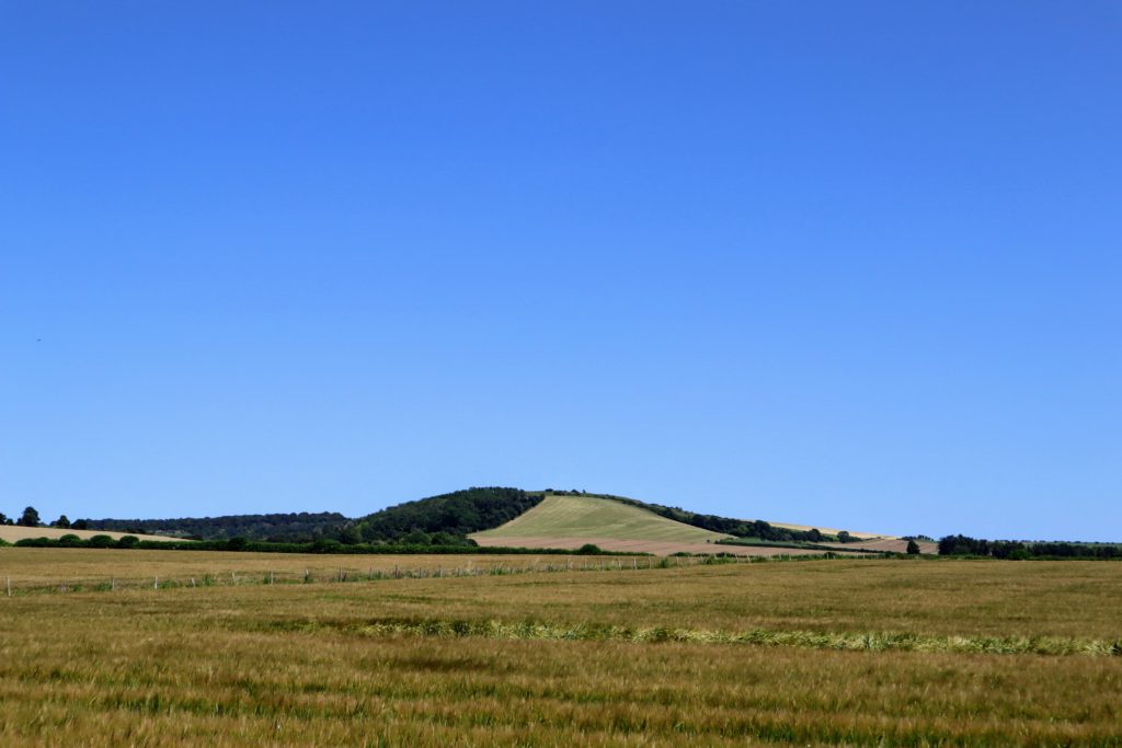
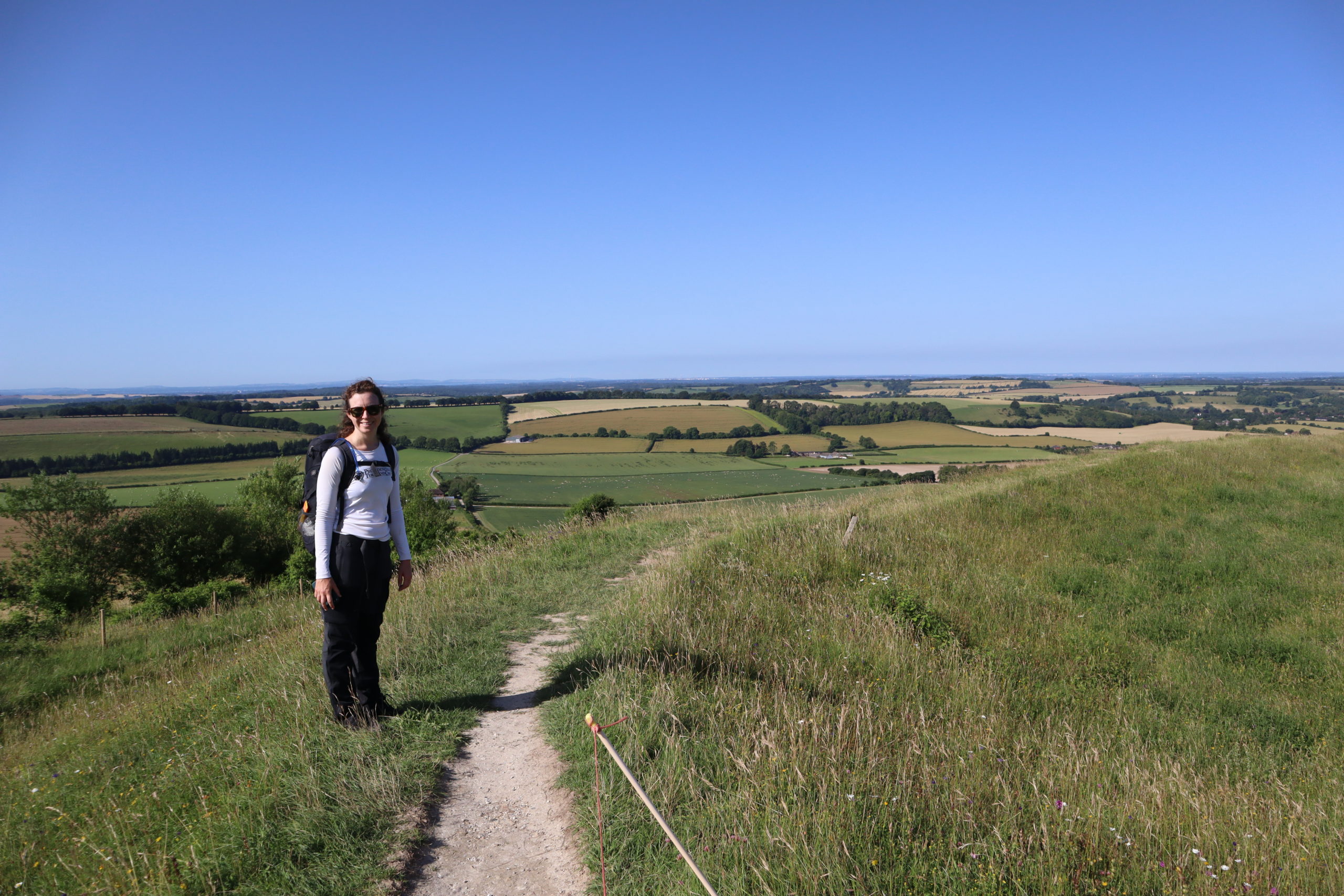
Our first objective was to find our way up to the summit of Old Winchester Hill. The hill wasn’t terribly difficult to locate as it had been looming over us all the previous evening and the path was right by the side of the field we camped in.
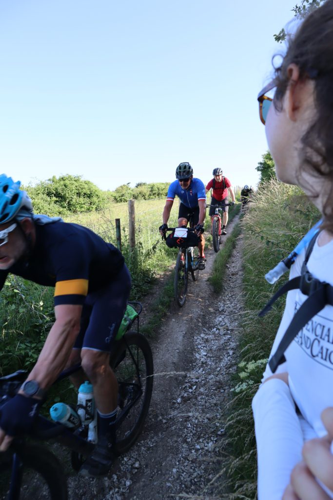
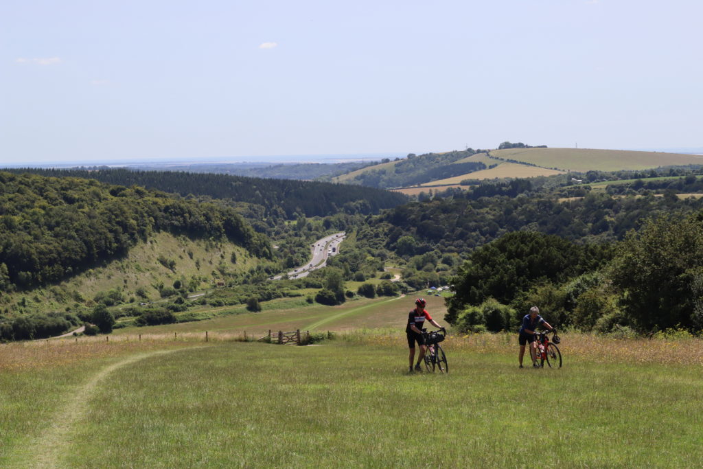
As we plodded up the side of the hill it became clear that other people were clearly more successful at getting an early start than us, as we were passed by numerous packs of bike-packing cyclists descending the hill at speed.
The South Downs Way is one of the few long distance trails that was designated as a bridleway at its inception and has become incredibly popular in recent years
One cyclist was less than enthusiastic about descending the rough track on a bike with drop handle bars and frantically yelled for us to keep clear as he came past.
The recent industry trend towards gravel bikes, a kind a racing bike with mountain bike tyres, meant that road cyclists were attempting more off-road routes.
The road-bike drop handle bars the bikes come equipped with are great for speed and allow a more aggressive riding style, but offer less stability on technical sections of track than the wide flat handlebars that mountain bikes use.
Fortunately everyone made it past us without incident and we carried on up towards the summit.
The final 200m up the hill was a steep climb but it we were richly rewarded when we finally reach the summit. On top of Old Winchester Hill sits the remains of an Iron Age hill fort and the location is no accident.
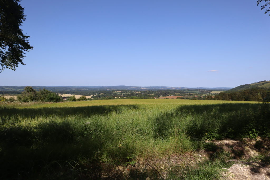
The site commands a 360 degree panoramic view of the surrounding countryside below and would have given the occupiers ample early warning of dangers.
Once we finished looking around this lovely archeological site we headed off once more, keen to make clock up the miles on what was clearly going to have to be a long day.
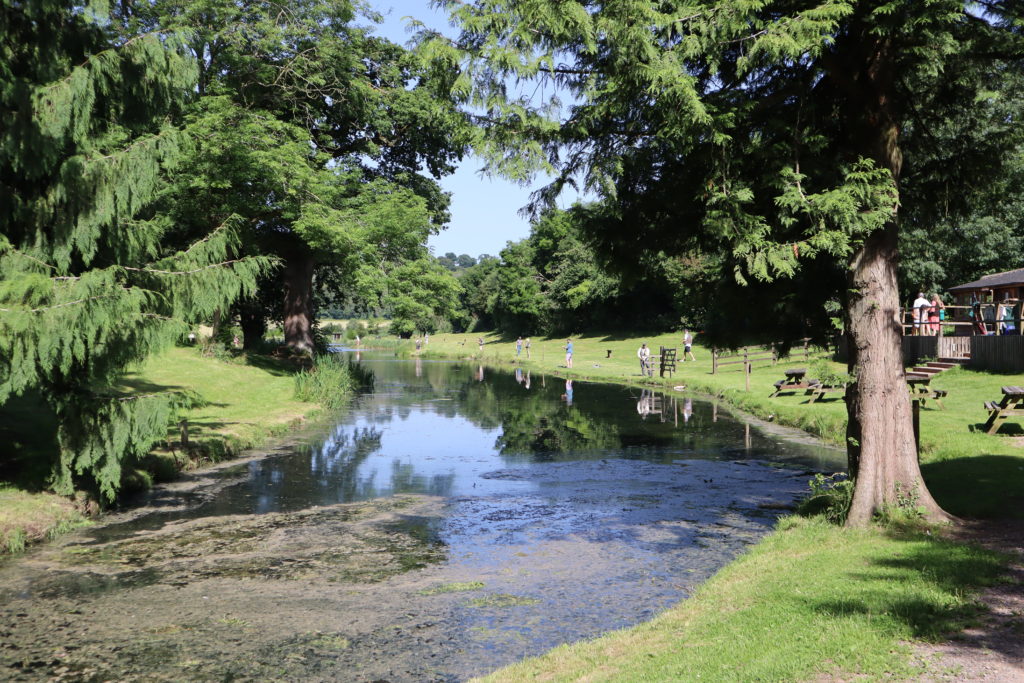
We headed down the next valley, past the Meon Springs farm and fishery. Surface water is rare on the the Downs due to the porous nature of the chalk and so the springs offer valuable sources of water for agriculture and fishing.
By lunch time we had covered 7 miles and reached The Sustainability Center, our original target for the previous day. We had an excellent vegetarian lunch at the café, topped up our water at the free water supply tap, and then headed straight back out. We still had a good distance to travel before we could think about resting for the day.
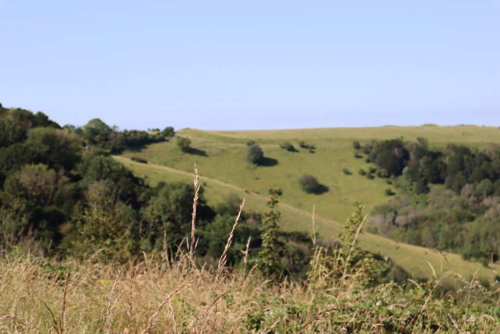
By now we had reached the point in the trail where the Downs’ true form began to show – a series long rounded hills, each with a steep northern flank and flatter southern flank.
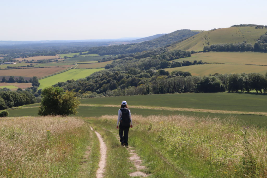
The South Downs Way sticks as closely as it can to the northern edge for the majority of the route, offering unhindered views of the Weald below.
By 2 pm we had reached the Queen Elizabeth Country Park, a large forested recreation area, and we stopped to grab some food and to arrange accommodation for the evening.
There were few camping options within walking distance of the trail and so after a couple of phone calls Lizzy had managed to arrange a room in John’s B&B near South Harting transport to/from the trail. A splendid result, given that otherwise we would have been wild camping and eating dehydrated rations!
The next hour or so was spent hiking up through the park, through one of the few wooded sections of the trail.
The forest canopy gave us much needed relief from the relentless sunshine that had been beating down on us all day and I was more than a little bit reluctant to carry on when we reached the other side and headed back out into the inferno.
We hobbled on for another hour or so (both our feet were hurting by now and Lizzy had a couple of blisters forming) before we finally reached out pickup point at the viewpoint near Harting Downs.
Leg Information
- Distance Travelled: 25km
- Height Climbed: 665m
- Accommodation: Silver Birch B&B, Elsted Marsh, John – 01730 816797
- Alternative camping available at Holden Farm
Route Map
Download file for GPS